The 1950s and 1960s residential boom that doubled Rockledge
Between 1950 and 1970, Rockledge's population grew from 1,347 to 10,523. NASA-era space program employment fueled the suburban subdivisions west of the historic district. The 1925 platted-but-undeveloped lots finally got built on.
Rockledge’s population went from 1,347 in the 1950 census to 10,523 in 1970, an eightfold increase that ranks as the steepest growth in the city’s history outside the original 1885-1925 founding-and-boom decades. The driver was Brevard County’s overall NASA-era expansion. Cape Canaveral missile programs began in the 1950s; Kennedy Space Center construction started in the early 1960s; Apollo brought tens of thousands of workers to the area. Many of them lived in Rockledge, where pre-existing platted subdivisions, modest construction costs, and proximity to both the FEC line and U.S. 1 made the city an attractive option.
The Cape Canaveral context
The U.S. Army began missile testing at Cape Canaveral in 1949. By the mid-1950s, the site was the primary East Coast missile test range, with the Air Force operating Cape Canaveral Air Force Station and adjacent civilian Patrick Air Force Base. The 1958 founding of NASA expanded the civilian space program; the 1961 selection of Cape Canaveral (later renamed Cape Kennedy from 1963-1973, then back to Cape Canaveral) as the launch site for the manned space program triggered the largest Brevard County employment boom in history.
The Apollo program peaked employment in the mid-1960s at over 25,000 direct NASA and contractor jobs at the Kennedy Space Center and adjacent facilities. Add families, supporting service-sector employment, and indirect economic effects, and the population of Brevard County more than tripled between 1950 and 1970, from about 23,000 to over 230,000.
Where the population went
Cape Canaveral itself didn’t incorporate as a city until 1962, and was small. Cocoa Beach, the closest beach town to the space center, grew rapidly. The mainland cities, Cocoa, Rockledge, Titusville, Melbourne, Eau Gallie, all expanded. Rockledge’s specific role in absorbing the population was tied to several factors:
Platted land available: the 1925 land-boom plats had created subdivisions west of the historic district with street rights-of-way and lot lines already established. These lots had sat undeveloped for 25-40 years. They were ready to build on with modest infrastructure upgrades.
Affordability: Rockledge was cheaper than Cocoa Beach or Cape Canaveral, which had higher land prices reflecting their newer-and-trendier status. NASA workers and contractors with middle-class incomes could afford Rockledge.
Proximity to FEC and U.S. 1: commuting to Cape Canaveral was straightforward, east on State Road 528 (the Bee Line Expressway, with the central Brevard segment from Orlando to SR 520 dedicated on July 14, 1967, and the Bennett Causeway eastern connection opened on February 16, 1974) or various surface streets.
Existing institutions: Rockledge already had Wuesthoff Hospital (opened 1941), an established school system, a country club (1924), and the basic civic infrastructure that newer communities lacked.
The subdivisions that got built
Brevard County Property Appraiser records show heavy 1950s and 1960s construction in Rockledge subdivisions including (with names typical of the period): Pineda Estates, Forest Lake, Royal Palm, and various “Heights” and “Gardens” developments. The houses were almost all ranch-style: single-story, three-bedroom, two-bath, concrete-block construction, attached carport or garage. Lot sizes ranged from 7,500 to 12,000 square feet for typical subdivision lots; some larger lots ran 15,000 to 20,000 square feet in the more upscale developments.
Construction costs in the early 1960s ran $10,000 to $15,000 for a typical Rockledge ranch house, on a lot priced at $1,500 to $3,000. Mortgages were generally 30-year fixed-rate, available through the FHA and VA programs that supported much of the post-war suburban expansion nationally.
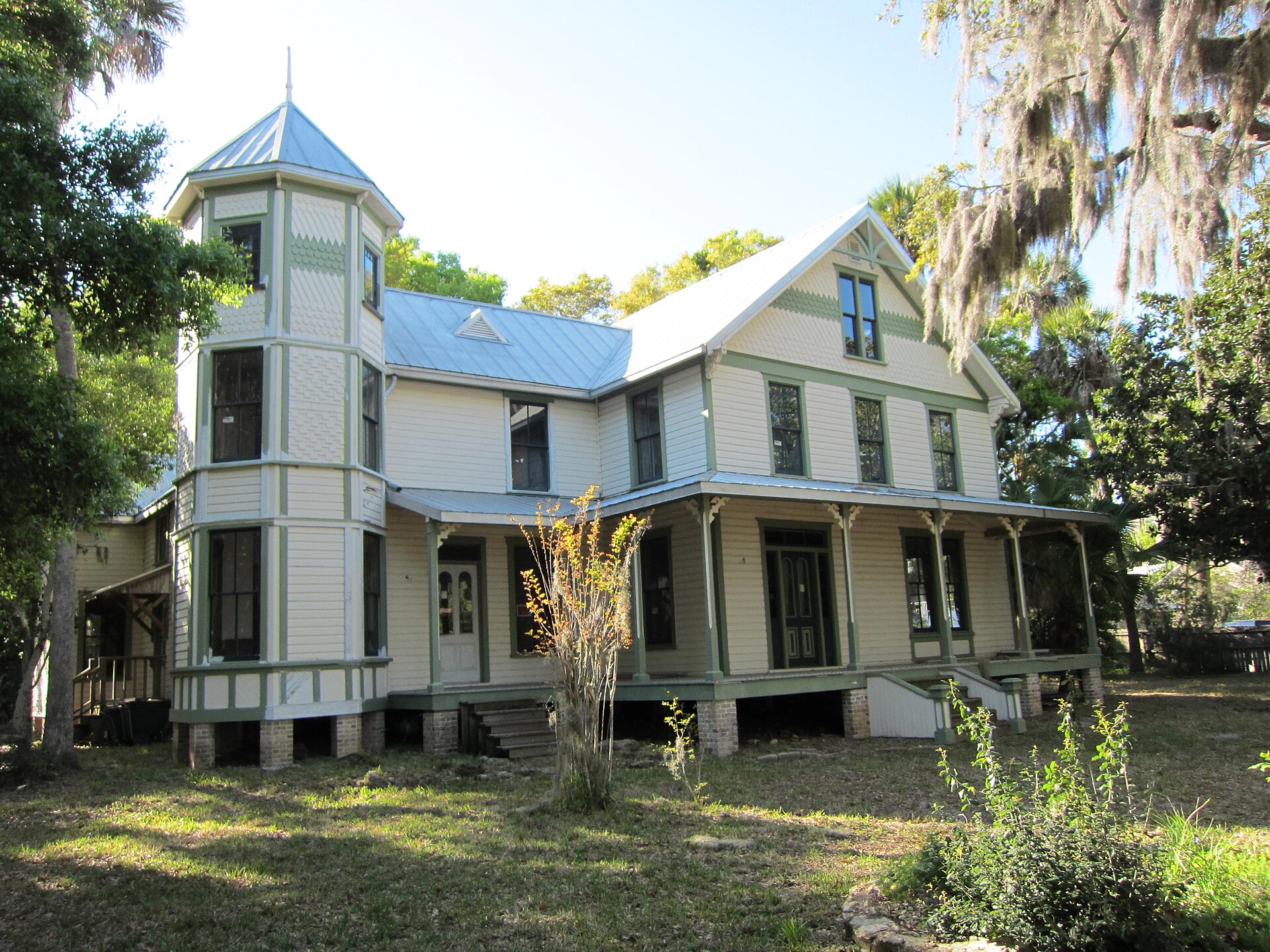
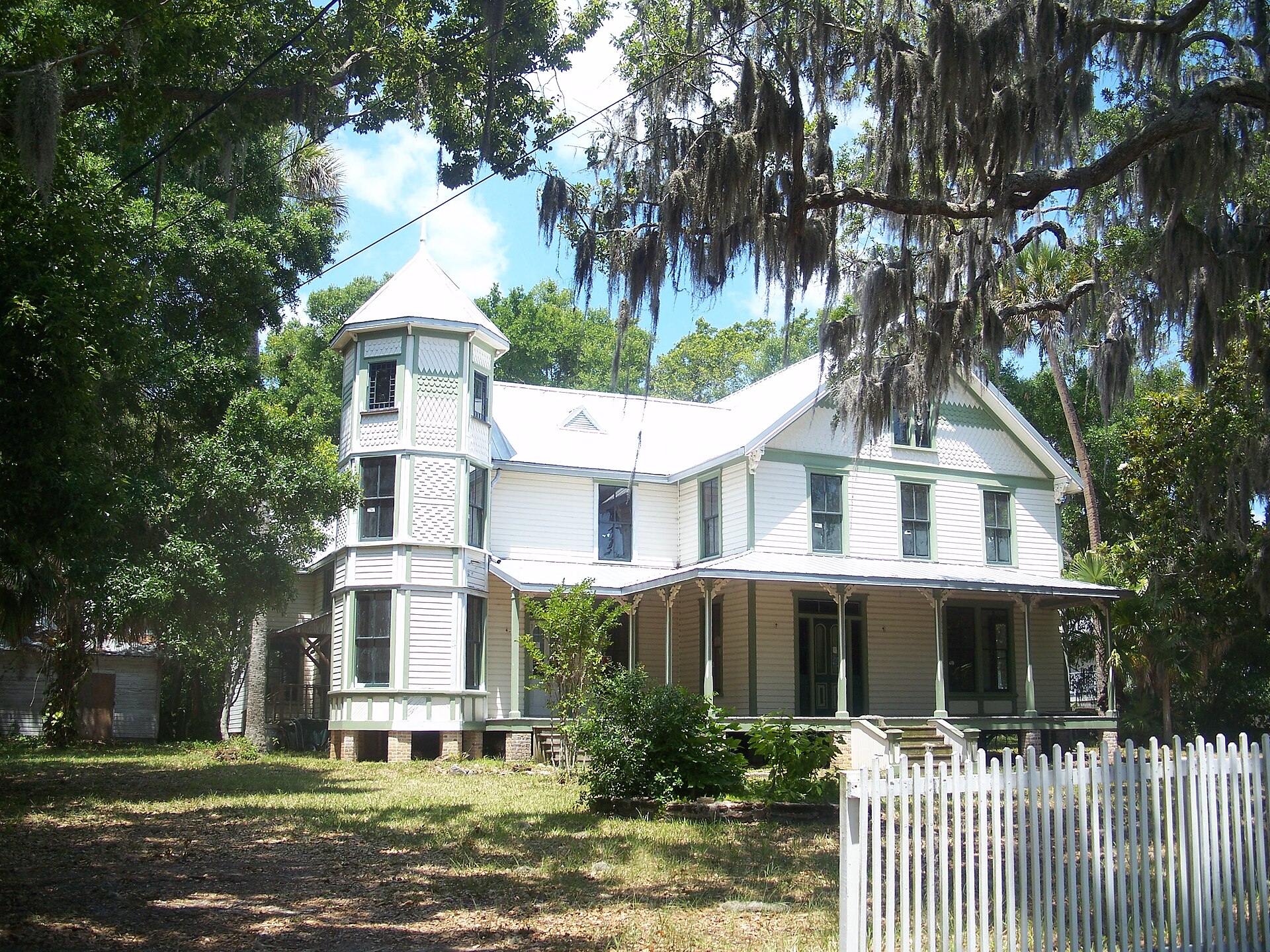
The new construction was concrete-block with stucco exterior in most cases, rather than the frame-construction vernacular of the original Rockledge Drive district. Concrete-block was more hurricane-resistant, less prone to termite damage, and cheaper to build at the post-war wage scales. The architectural transition from frame Vernacular to concrete-block ranch is visible if you drive east-to-west across Rockledge: pre-1925 frame houses on Rockledge Drive, mid-century concrete-block ranches west of U.S. 1.
The schools build-out
The school district expanded to serve the new population. Several Rockledge elementary schools opened or expanded in the 1950s and 1960s. The 1968 opening of Rockledge High School was driven directly by the post-war population growth.
Brevard County School District added building capacity across the county during the 1960s at a rate of several new schools per year. State and federal funding (under the Elementary and Secondary Education Act of 1965 and various NASA-region-specific programs) supported some of the construction.
What didn’t survive the boom
The Hotel Indian River closed in 1959, the year that effectively marks the transition between Rockledge’s old Gilded Age economy and its new NASA-era suburban economy. Several Rockledge Drive mansions were demolished in this period, replaced by mid-century houses on subdivided lots. The 1968 hotel demolition came at the peak of the population growth that was leaving the Gilded Age era behind.
The post-NASA decline of the 1970s slowed Rockledge’s growth, but didn’t reverse it. The city’s population stabilized in the 1970s, recovered slowly through the 1980s, then surged again in the 1990s and 2000s with the Viera planned-community development on the western edge of the city.
What the boom built that’s still here
Most of Rockledge’s housing stock (in the 2020s) was built between 1950 and 1980. The mid-century neighborhoods west of U.S. 1, concrete-block ranches on 1925-platted lots, are the core of the city’s residential character. The schools, civic buildings, and shopping centers that serve those neighborhoods were also built during the period.
The architectural mix in Rockledge today is roughly: pre-1925 frame Vernacular along Rockledge Drive (the historic district), 1950s-1970s concrete-block ranches across the bulk of the city, 1980s-2000s subdivision houses on the western edge and around Viera, and a small number of 2000s-2020s infill houses and new developments. The mid-century stock is the demographically dominant share.
What this means for current planning
Rockledge’s housing stock is aging. Concrete-block ranches built in 1965 are 60 years old, with original wiring, original plumbing, and original roofs (typically replaced once or twice over the lifespan). The maintenance cost and rehabilitation cost of the mid-century stock is rising. City planning decisions over the next decade or two will partly be about how to manage this transition: whether mid-century neighborhoods get redeveloped, renovated, or left to gradual decline.
The Apollo employment peak and its drawdown
NASA reached its peak Apollo-era employment in the Brevard County area in 1965-1968, with over 25,000 direct NASA and contractor jobs at Kennedy Space Center and the adjacent Cape Canaveral Air Force Station. Including support-sector employment (housing, retail, services) the indirect Brevard workforce tied to the space program approached 100,000. The combined civilian and military population at the cape complex made it one of the largest concentrated workforce sites in Florida during the Apollo years.
The Apollo program’s wind-down after the Apollo 17 mission in December 1972 cut NASA contractor employment sharply. Tens of thousands of aerospace jobs disappeared from Brevard between 1969 and 1973. The “Apollo bust” pushed county-wide unemployment well above the Florida average and produced a population stagnation that would last most of a decade. Rockledge weathered this period better than Cape Canaveral and Cocoa Beach because its economy was less concentrated in direct aerospace employment, but it still felt the slowdown.
The Space Shuttle program (first orbital flight April 12, 1981; final flight July 21, 2011) restored some of the lost aerospace employment but never returned to Apollo peaks. The post-Shuttle gap was deeper. Commercial-space operators (SpaceX, Blue Origin, ULA) have since rebuilt a significant launch industry on the Cape, with employment patterns that differ from the government-contractor model that built the mid-century Rockledge neighborhoods.
Construction cost inflation as a context
The $10,000 to $15,000 ranch-house figures from the early 1960s look quaint, but in inflation-adjusted dollars they map to roughly $100,000 to $150,000 in 2024 terms, which is well below current Brevard County median home prices. The price gap is partly real (mid-century houses were smaller and used less expensive materials than current construction) and partly a measure of how much Florida housing affordability has degraded since the boom. A 1965 NASA technician could afford a Rockledge house on a single income. The 2025 equivalent generally cannot, even with both spouses working.
The aging of the mid-century stock interacts with this affordability question. Renovation of a 1965 ranch typically costs more than new construction would have cost in current dollars, because labor and materials have inflated faster than median wages. Many of the 1950s-1970s subdivisions are now in transition: some houses being kept up by long-tenured owners, some being flipped and remodeled by investors, some being torn down and replaced with larger new construction on the same lots. The character of the mid-century neighborhoods is changing house by house.
Further Reading
Sources
- U.S. Federal Census, Rockledge enumerations, 1950-1970, archives.gov/research/census
- Brevard County Property Appraiser, parcel and building permit records, 1945-1970
- Kennedy Space Center, NASA historical employment data, history.nasa.gov
- Brevard County, Florida: An Illustrated History by Jerrell H. Shofner (Donning Company, 1995)
- Brevard Public Schools, district construction history records
As an Amazon Associate we earn from qualifying purchases.