Hurricane history at Rockledge: from the 1880s to Frances and Jeanne, 2004
Rockledge has been hit by named hurricanes since named hurricanes existed. The 2004 hurricane season landed two storms three weeks apart. The coquina bluff has shaped how the city weathers them.
Rockledge sits at the northern end of Florida’s Atlantic east-coast hurricane corridor. Storms that make landfall anywhere from Sebastian Inlet north to Daytona regularly affect the city. The worst modern hurricane impact on Rockledge came in September 2004, when Hurricane Frances (September 5) and Hurricane Jeanne (September 26) hit Brevard County three weeks apart, both as Category 2 storms at landfall. Earlier 20th-century storms (1926, 1933, 1947, 1960’s Donna, 1979’s David, 1999’s Floyd as a near-miss) also brought significant damage.
Geography and hurricane vulnerability
Rockledge has three geographic features that shape hurricane impact:
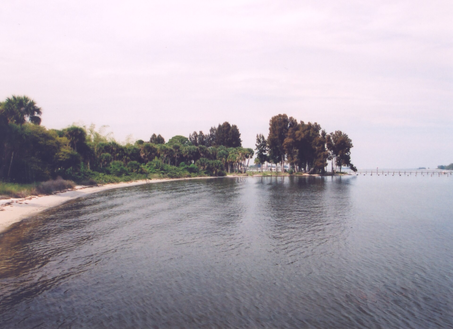
- The coquina bluff: 10-15 feet above the Indian River. The high ground protects against direct surge inundation from the river side. Houses on the bluff stay dry during most surge events; surge has to overtop the coquina to reach them.
- Inland low ground west of U.S. 1: drains poorly. Heavy rain accumulates in the residential areas west of the historic district and produces flooding even without surge.
- Mature tree canopy: Rockledge has substantial live oaks, palms, and other mature trees. Hurricane wind brings down trees on houses, cars, and power lines. Tree damage is typically the most extensive Rockledge hurricane impact.
The barrier islands (Cape Canaveral, Cocoa Beach, Patrick AFB area) take the first storm hit before the eye reaches the mainland. By the time a hurricane’s eye crosses Rockledge, wind speeds have moderated somewhat from peak landfall values. But the back-side wind on the north side of an eye crossing also delivers substantial damage.
Pre-1900 storms
The 1880 Atlantic hurricane season included a storm that affected the Indian River. Period accounts in the Florida Star (Titusville) and surviving steamboat company logs reference high water and damage at Rockledge. The 1886 Indianola hurricane crossed central Florida, with effects on the Indian River that included storm-surge damage to the Hotel Indian River’s pier (then under construction or just completed).
The 1893 hurricane season was a particularly active one. Three storms affected Florida; at least one passed close enough to Rockledge to produce damage. Period accounts mention citrus losses and structural damage but don’t specify the exact storm.
The 1926 Miami hurricane and after
The 1926 Miami hurricane, which devastated south Florida, passed across central Florida as a weakening storm and produced wind and rain at Rockledge. The 1928 Okeechobee hurricane, which killed thousands in south Florida, took a more inland track and had less impact on Rockledge. The 1933 Treasure Coast hurricane made landfall in Jupiter and weakened across central Florida; Rockledge had wind damage and some flooding.
Donna, 1960
Hurricane Donna in September 1960 was one of the most destructive Florida hurricanes of the 20th century. The storm made landfall in the Florida Keys, traveled north along the peninsula, and exited near Daytona Beach. Rockledge was on the right side of the storm track, with sustained winds reported at 70-80 mph and gusts higher. Tree damage was extensive. Power outages lasted days to weeks in some neighborhoods. The Hotel Indian River, then closed but still standing, suffered roof damage that worsened its already-poor condition and accelerated the path toward eventual demolition.
David, 1979
Hurricane David in September 1979 made landfall near West Palm Beach as a Category 2 and tracked north. Rockledge was on the east side of the storm track. Winds were strong, rainfall was heavy, and the storm caused widespread power outages and tree damage. By 1979 the FEC Railway right-of-way through Rockledge had several damaged sections that required repair.
Frances and Jeanne, 2004
September 2004 brought two named hurricanes to Brevard County in three weeks. Hurricane Frances made landfall near Sewall’s Point on September 5 as a Category 2 (peak Category 4 at sea, weakened at landfall). The storm moved slowly. Rockledge had sustained tropical-storm-force winds for over 24 hours, hurricane-force gusts for at least 12 hours, and total rainfall of 6 to 10 inches.
The lagoon-side surge reached approximately 3 feet above normal high tide in Rockledge. The coquina bluff prevented most direct surge inundation of the historic district. Inland flooding west of U.S. 1 was extensive. Tree damage was severe. Power outages lasted in some neighborhoods for over a week. The hospital (Wuesthoff) operated on generator power for part of the event.
Hurricane Jeanne arrived September 26, three weeks later, making landfall on nearly the identical track as Frances. Rockledge had a second hit on top of the unrepaired Frances damage. Trees already weakened by Frances came down in larger numbers. Tarped roofs failed. Insurance assessments doubled.
Total Brevard County damage from Frances and Jeanne combined ran into the billions of dollars. Federal disaster declarations covered both storms. The cleanup, repair, and rebuild process extended through 2005 and 2006.
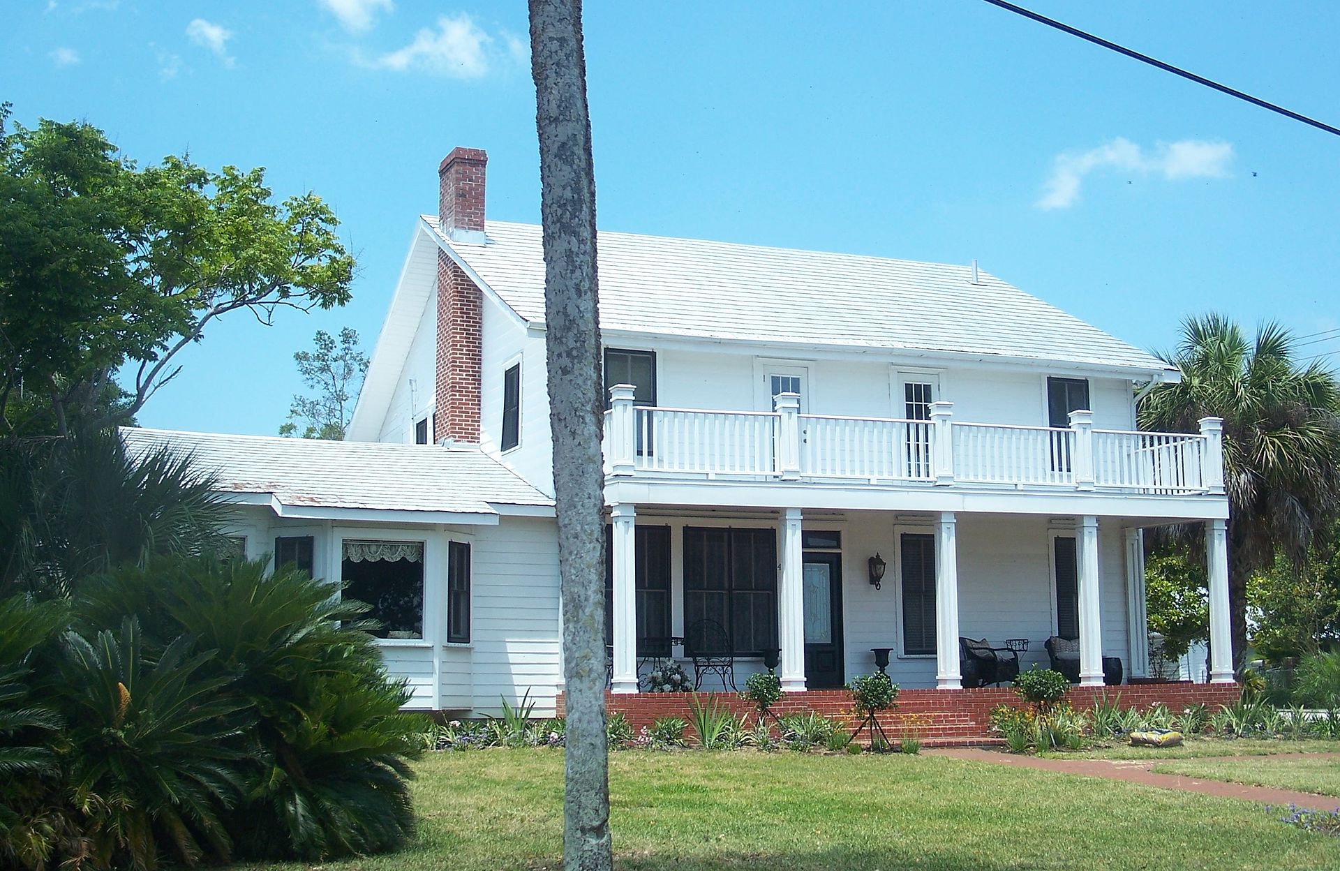
The coquina-bluff houses generally survived structurally, with the most severe damage being roof loss, broken windows, and tree damage to outbuildings. Some of the homes had been preserved or restored under the post-1990 NRHP and city-overlay framework, and those generally fared better than non-historic structures of similar age that had been less rigorously maintained.
Erosion of the cliff
Both Frances and Jeanne accelerated erosion of unprotected sections of the coquina cliff. Combined with the high water from the back-to-back surges, several sections lost a few feet of cliff face. City records and homeowner surveys from 2005-2006 document the changes. Several owners installed coquina-block retaining walls or rip-rap protection after the storms. Insurance and FEMA hazard-mitigation grants helped fund some of the work.
What changed after 2004
Rockledge updated its building code and emergency-management procedures after 2004. The city participates in Brevard County’s emergency management system, with evacuation zones, public-shelter designations (Rockledge schools are designated shelters during major hurricane events), and post-storm damage assessment protocols.
Property insurance in Brevard County tightened after 2004. Wind-mitigation features (impact-resistant windows, hurricane shutters, hip-roof construction, fortified roof attachment) earn premium discounts. Pre-2004 frame houses without mitigation pay higher premiums or struggle to find coverage at all.
What hasn’t changed
The coquina bluff still drains better than the inland west-of-U.S.-1 neighborhoods. The historic district will continue to outperform the lower-elevation parts of the city during surge events. Tree damage will continue to be the most common type of hurricane damage. The next major hurricane to hit Rockledge will produce a generally predictable pattern of impacts; the 2004 storms gave city emergency planners a reasonable template.
Further Reading
Sources
- National Oceanic and Atmospheric Administration, National Hurricane Center, historical storm tracks, nhc.noaa.gov/data
- National Weather Service Melbourne forecast office, historical Brevard County storm data, weather.gov/mlb
- Hurricane Frances tropical cyclone report, nhc.noaa.gov/data/tcr/AL062004_Frances.pdf
- Hurricane Jeanne tropical cyclone report, nhc.noaa.gov/data/tcr/AL112004_Jeanne.pdf
- Florida Today archive, hurricane coverage 2004-present
- Brevard County Emergency Management, post-storm damage assessments 2004-2005
As an Amazon Associate we earn from qualifying purchases.